
Winter has returned to Niseko bringing 15cm of fresh snow overnight and a temperature of -3ºc at 8:30am this morning. Last week was unseasonably warm and sunny for early December and heavy rain fell throughout the day yesterday. However, once the mercury dropped early evening the rain turned to snow and we woke up to a much whiter world than witnessed the day before. It is worth noting though that strong winds have accompanied the snow and stormy conditions are expected to persist throughout the day so keep an eye on the Niseko weather and lift status as skis lifts around the Niseko United and Moiwa ski resorts will likely be affected. A lot more snow is anticipated this week with the heaviest snowfalls expected towards the end of the week.
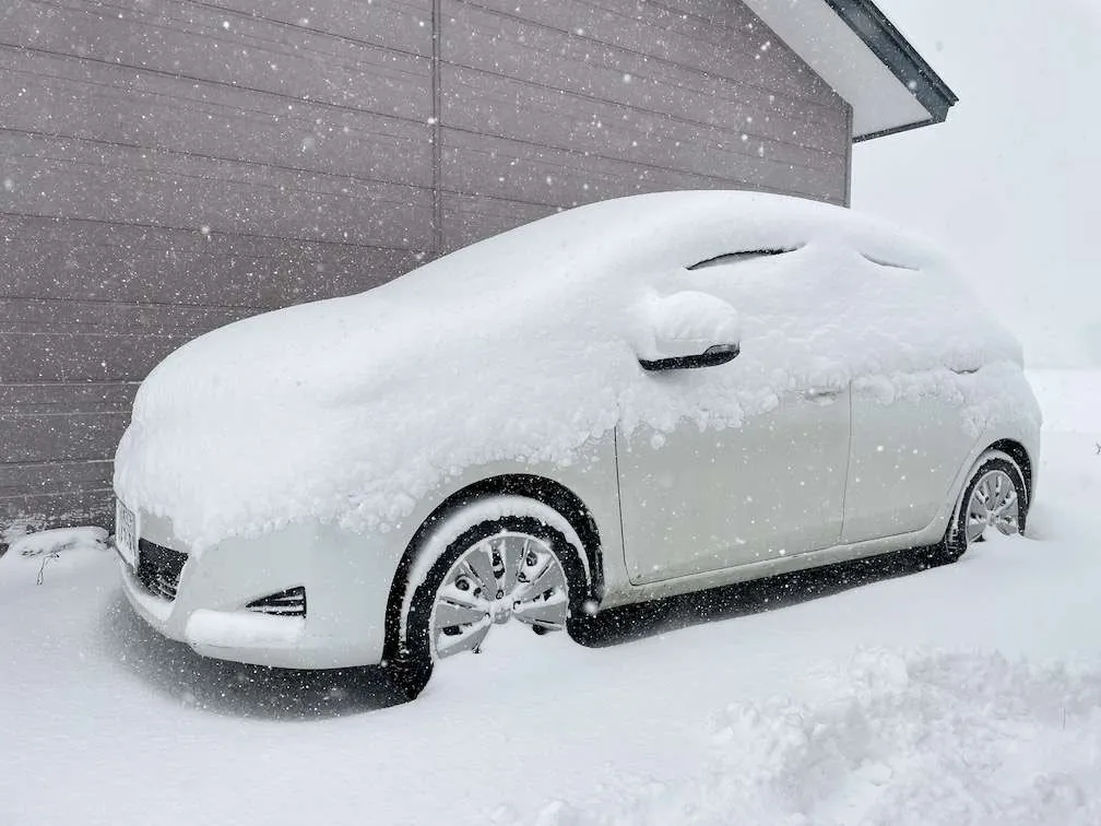
Take care on the Niseko roads today after the first big overnight snowfall in a while!
Please bookmark the JSE Snow Report and follow us on Instagram to keep up to date with what is happening in Niseko, Hakuba and beyond this winter!
Total accumulated snowfall for winter season 2021-22: 155cm
*November 2021: 110cm
**December 2021: 45cm so far